House of History
Vintage Scandinavian & Finland School Map on Canvas with Wooden Rods
Vintage Scandinavian & Finland School Map on Canvas with Wooden Rods
Lage voorraad: nog maar 1
Kan beschikbaarheid voor afhalen niet laden
Productomschrijving
Productomschrijving
Vintage school map Scandinavia and Finland on canvas | W. Bakker & H. Rusch | Dijkstra Zeist | 112x82 cm | mid-century educational wall chart
Introduction:
This original school map of Scandinavia and Finland is a true eye-catcher, rich in authentic color and industrial symbolism. More than just a decorative piece—it’s a tangible fragment of educational heritage. The vivid topography and inset map of Spitsbergen make it both historically valuable and visually striking. Ideal for lovers of geography, vintage maps or Scandinavian decor. This wall chart brings character, nostalgia, and knowledge to your wall.
About the Maker:
The map was designed by W. Bakker and H. Rusch, two respected Dutch cartographers known for producing educational wall maps throughout the 20th century. It was published by Dijkstra’s Uitgeverij N.V. in Zeist, a renowned Dutch publishing house specializing in high-quality school materials used across classrooms in the Netherlands for decades.
Usage and Decor Potential:
Originally used in classrooms for geography lessons, this map visually presents the landscapes, topography and economic features of Scandinavia and Finland. Today, it serves perfectly as wall decor in a Scandinavian, industrial, or eclectic interior—be it a home office, study, classroom or creative workspace. Keywords: vintage wall map, Scandinavian decor, retro school chart, educational poster, topographic map, geographic wall art.
Gift Suggestion:
Looking for a unique gift for a teacher, cartography fan, historian or world traveler? This vintage school map is a one-of-a-kind present with a story. A perfect housewarming gift, birthday surprise, retirement present, or stylish decor for anyone passionate about Scandinavia, education, or vintage design. An ideal choice for those searching for original, nostalgic, and meaningful gifts.
Facts Summary:
– Type: Educational school map / wall chart
– Title: “Scandinavia and Finland” (with Spitsbergen inset)
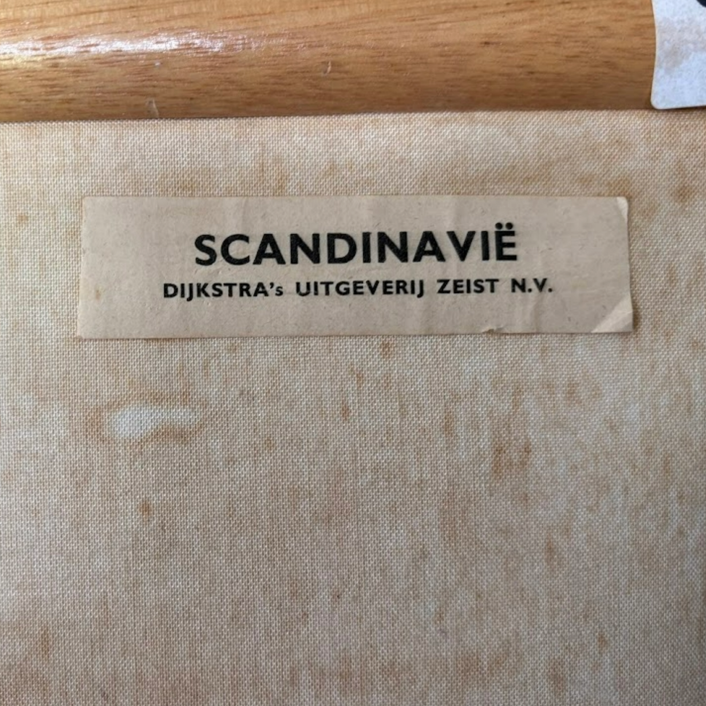
– Designers: W. Bakker & H. Rusch
– Publisher: Dijkstra’s Uitgeverij N.V., Zeist (Netherlands)
– Production period: circa 1950–1970
– Materials: Printed canvas, lacquered wooden rods, cotton hanging cord
– Dimensions: 112 x 82 cm (EU) | 44.1 x 32.3 in (US)
– Weight: Approx. 900 g (2 lbs)
Collectibility and Investment Potential:
Original mid-century school maps are becoming increasingly collectible, especially those in good condition featuring rich symbolism and economic-geographic detail. With growing demand among collectors of educational heritage, vintage decorators and design enthusiasts, this item offers excellent potential as both a collector’s piece and a long-term investment.
Condition:
This chart is in good vintage condition. The colors remain vivid and all details are clearly legible. Some light yellowing and foxing on the rear, as well as minor creasing from years of storage in a rolled position—typical for its age. No tears or major stains. The original rods and hanging string are intact and sturdy. A well-preserved example with authentic character.
About House of History:
At House of History, we are passionate about discovering and curating vintage and unique items for history lovers like you. We believe that a tangible piece of the past brings history to life—that's where our passion lies! Our dedication to this craft is reflected in our yearly visits to countless markets, vintage shops, and auctions across Europe and beyond, searching for that one special piece. Whether you're looking to enrich your collection or add character to your space, we aim to find the perfect item for you. Every product in our selection is chosen with care, love, and craftsmanship. Got a specific request? Let us know—we’ll gladly help!
Feel free to reach out with any questions, comments, or concerns. We're always here for you.
Pricing and Shipping:
All our prices at House of History include shipping costs. We encourage you to keep this in mind when comparing prices. We ship with track & trace for peace of mind, and all orders are dispatched within 1–2 business days. We only use trusted postal carriers and provide tracking on all shipments. Items over €200 are always shipped insured. Every item is carefully and professionally packed—we have extensive experience with international shipping.
Notes:
At House of History, we sell vintage items, which means our pieces may show signs of use or age. We recommend reviewing the accompanying photos and videos carefully before purchasing. Need extra photos, videos, or details? Don’t hesitate to contact us—we’re happy to help. We prefer to preserve the original state of our items. While some customers love a polished look, others appreciate an aged patina. Most of our products are therefore offered in unpolished, authentic condition.
Tags:
vintage school map, Scandinavia poster, Finland wall chart, canvas map, retro classroom decor, geography map, educational chart, vintage schoolroom, topographic decor, Scandinavian interior, antique school map, mid-century map, vintage geography
Materials:
canvas, wood, cotton, metal, ink