House of History
Vintage Relief School Map of Italy from the 1970s
Vintage Relief School Map of Italy from the 1970s
Low stock: only 1
Unable to load availability for pickup
Product Description
Product Description
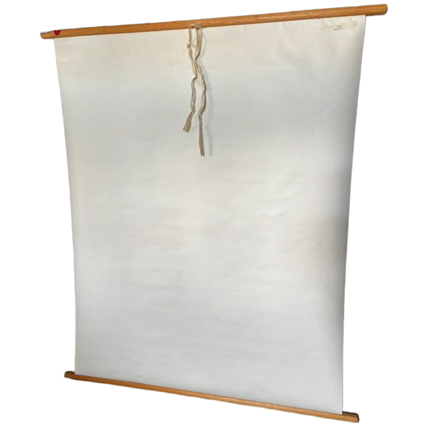
Vintage Relief School Map of Italy from the 1970s | Educational Wall Chart by Wolters-Noordhoff 75x100 cm | Original Dutch Classroom Decor
This original Dutch school map of Italy from the 1970s–80s brings classroom charm straight into your home. The map features raised-relief coloring to bring the landscape to life, displaying Italy with all its geographical and topographical features—from the Alps to Sicily, rivers and lakes to roads, cities, and railways. Originally used as educational material, this map is now a highly sought-after decorative item for lovers of history, travel, and vintage classroom design.
About the Maker
The map was published by Wolters-Noordhoff, a renowned Dutch educational publisher with roots dating back to the 19th century. Formed through the merger of Wolters (Groningen) and Noordhoff (also from Groningen), this company was a major player in the production of school atlases, wall maps, and didactic materials. Wolters-Noordhoff played a key role in postwar Dutch education, with their maps present in schools well into the 1980s.
Use & Decoration
Originally used in classrooms for geography lessons, this school map now makes a perfect decorative statement. Hang it on the wall in a study, library, children’s room, or vintage-style interior for a touch of educational charm. Also ideal for travel agencies, bookshops, or classic office decor. Keywords: vintage wall map, Italy poster, educational decor, mid-century school chart, retro geography map.
Perfect Gift Idea
Looking for a unique gift for a teacher, geographer, Italy enthusiast, traveler, or vintage education collector? This wall chart is an eye-catching present for birthdays, housewarmings, Father’s Day, or anniversaries. Its size and character make it a standout piece that adds nostalgia and worldly charm to any space.
Product Details
Type: wall chart / school map / vintage classroom decor
Publisher: Wolters-Noordhoff
Production period: approx. 1970–1980
Dimensions: approx. 75 x 100 cm | 29.5 x 39.3 inches
Materials: laminated paper or canvas-like cardboard, wooden rods, hanging string
Weight: approx. 900 grams (1.98 lbs)
Collectible & Investment Value
Maps from this period are increasingly sought after as collectibles and decorative statements. Maps of Italy in good condition remain popular among both vintage decor lovers and education history enthusiasts. Although values have fluctuated over time, demand has risen since around 2015 due to their visual appeal. If you're building a collection, this is a valuable addition.
Condition
This vintage map is in good condition. Colors remain vivid with no fading. There is light surface waving (typical from decades of rolling) and minor signs of use, but no tears or holes. The string and wooden rods are original and intact. Overall, a well-preserved example of a mid-century educational map.
About House of History
At House of History, we're passionate about discovering and curating vintage and unique items for history lovers like you. We believe that a tangible piece of history brings the past to life—that’s our passion! Our dedication to this hobby is reflected in our annual visits to countless markets, vintage shops, and auctions, both nationally and internationally, in search of that one unique find. Whether you're looking to expand your collection or add a touch of character to your interior, we strive to find the perfect item for you. Our selection is based on care, love, and craftsmanship.
Have a specific request? Let us know and we’ll happily help you search!
Don't hesitate to contact us with questions, comments, or concerns—we’re always here for you.
Pricing & Shipping
At House of History, all prices include shipping. Please keep this in mind when comparing prices. We always ship with tracking for your peace of mind. Orders are dispatched within 1–2 working days using reputable postal services, and all packages are trackable. Items over €200 are always shipped with insurance. We professionally and securely package every order and have extensive experience with international shipping.
Note
House of History sells vintage items, meaning our goods may show signs of use. We recommend carefully reviewing the photos and videos before purchasing. Need more details, photos, or videos? Just ask—we’re happy to help. We generally keep our items in original, untouched condition. Some customers prefer polished and restored items, while others love a lived-in patina. Most of our pieces are therefore presented unpolished and as found.
Tags
vintage school map, Italy wall map, retro classroom map, Wolters-Noordhoff, Italian geography map, mid-century decor, travel map, old school chart, topographic map, geography poster, relief map Italy, wall decor Italy, educational heritage
Materials
paper, wood, string, laminated cardboard